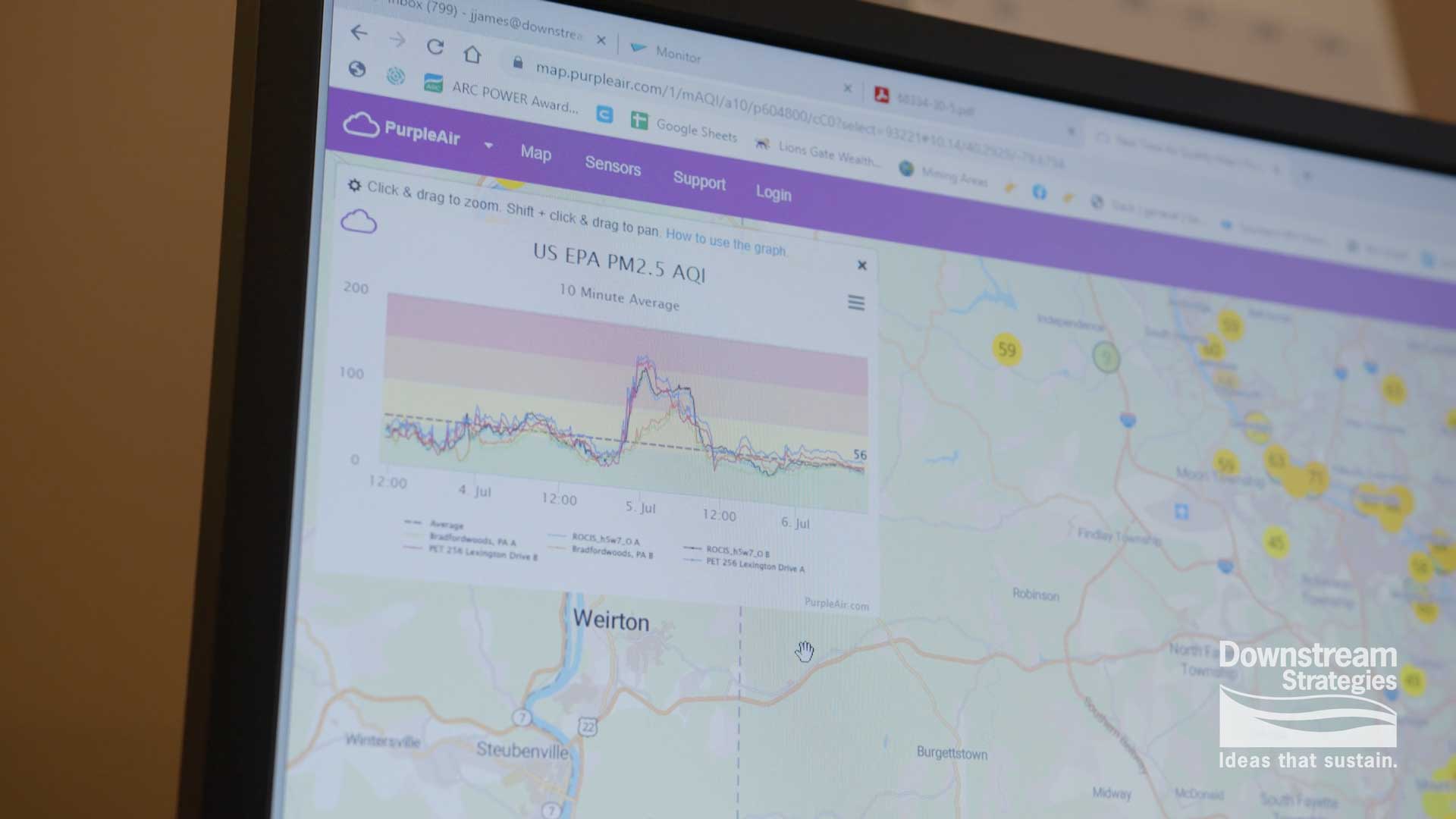
Geographic Information Systems (GIS) are invaluable tools for storing, analyzing, and understanding location-based information. At Downstream Strategies, we use GIS in nearly every project to helps develop efficient, workable solutions for our clients.
We are well-versed in a wide range of GIS skills and applications, including siting analysis, environmental modeling, logistics and routing, ecological modeling, and the development and maintenance of large spatial databases. We also have extensive experience creating end-user platforms, ranging from simple web maps to fully customized analytical tools.
We have taken on many notable GIS projects in recent years:
- In partnership with the Morgantown Utility Board, Downstream Strategies developed what is likely the most robust source water protection and spill response tool on the market. The custom, GIS-based tool, which we call the Monitor, allows utility operators to track and analyze potential sources of contamination upstream of water intakes. Also, in the unfortunate event that there is a spill or other contamination event, the tool enables utility operators to spring into action and respond appropriately.
- We have used GIS to complete siting analyses for clients seeking different types of economic development opportunities, including renewable energy, manufacturing, agriculture, and other types of projects. One of our most rewarding projects is an ongoing collaboration with a number of community-based organizations, in which we identify former mine sites that can be utilized for a wide range of economic development projects.
- Another important use of GIS is as a communication tool. Well-designed maps—both on paper and online—are great ways to communicate complex data to clients and to the general public. We routinely develop simple, interactive mapping applications to communicate findings back to clients, almost in real time. Further, we develop Story Maps, which combine GIS-based web maps with videos, photos, graphics, and text to communicate complex topics in interesting ways that keep people engaged. For example, working with PennFuture and the Our Pocono Waters campaign, Downstream Strategies recently developed a Story Map to communicate the findings of a study on the economic impact of special stream protections in the Pocono Mountains of Pennsylvania.
When GIS tools are used right, they create cost savings for clients and help communicate complex topics. For more information on our GIS services, contact Joey James at (304) 292-2450 or fill out the contact form on our site.

